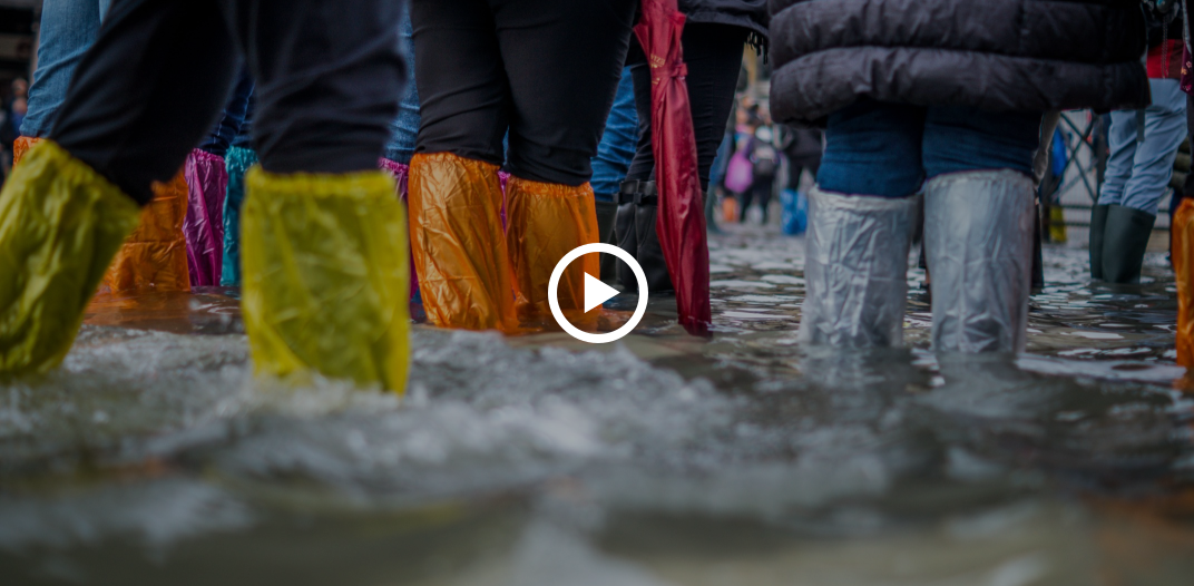
FloodSafeGIS is a trailblazer in the field of Geographic Information Systems (GIS) and artificial intelligence (AI) applications. We envision a world where communities are resilient in the face of water-related challenges. Through our technology, we aim to create a safer, more sustainable future where the impact of floods is minimized, and every individual is equipped with the knowledge to navigate and mitigate potential risks.
Features
Accurate Flood Extent Maps
FloodSafeGIS provides precise and up-to-date flood extent maps, aiding authorities in strategic planning during flood events.
Water Depth Estimation
Using CWC flood forecasts, FloodSafeGIS estimates water depth, offering valuable insights for effective disaster response.
Alert System
Implement an alert system to notify residents, emergency services, and government agencies about potential flooding risks in real-time.
How it works?